XRIT TACTICAL METEOROLOGICAL SATELLITE DOWNLINK
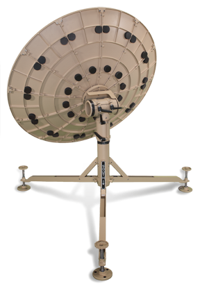
This system, which includes a 1m diameter parabolic dish, is designed to directly receive L-Band LRIT and HRIT services at 1691.0 and 1694.1 MHz, respectively. By changing the feedhorn and receiver, the system is also able to receive KU-band EUMETCast-Europe service on 11262.5 MHz. The 1m antenna is assembled by one operator in under 15 minutes without the need of tools. The XRIT ingest application software allows the reception, processing and storage of imagery from GOES-E, GOES-W, GOES-R/S/T/U, COMS, MSG and EUMETCAST.
DEPLOYABLE ANTENNA
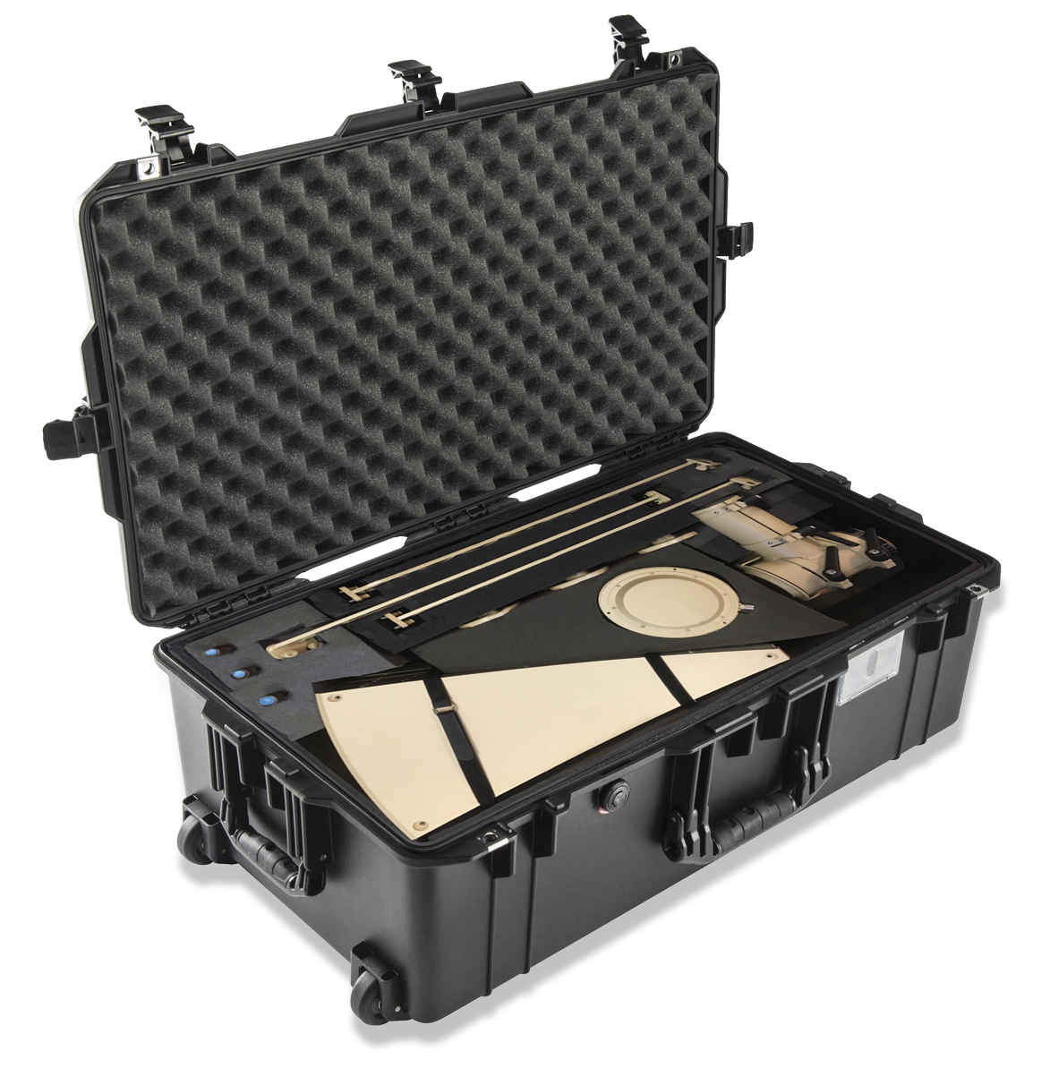
Durable, reliable, with ease-of-use, the deployable antenna yields unprecedented gain in such a compact size. The parabolic reflector is made of multiple machined aluminum segments, with captive hardware. The operator easily reads reflector azimuth and elevation from built-in decals. Deployable, super-stable tripod has three leveling feet and
built in level bubble to establish accurate positioning on uneven terrain. Three feedarms are designed to work with both L and KU-band feeds supplied by Global-LG. It can be assembled in under 20 minutes with no additional tools.
ULTRA-RUGGED COMPUTER
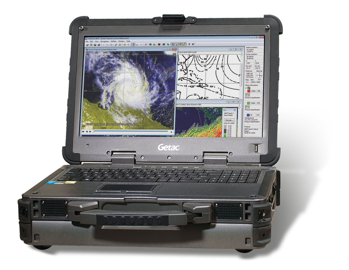
The Getac X600 Ultra Rugged Notebook combines powerful Intel processors with a brilliant 15.6-inch HD sunlight-readable display. The X600 runs Windows 11 and contains moisture sealed doors for its many ports including USB, eSATA, ethernet, etc. Built from high quality magnesium alloy, the X600 is specially engineered to protect the computer against drops, shocks, spills, vibration, dust and moisture. The X600 has been independently tested and certified to MIL-STD 810G, IP65, MIL-STD-461F and ANSI/ISA 12.12.01 standards.
L AND KU-BAND FEEDS
With options for L or KU-band, feed and downconverter are integrated in a highly stable, high-gain, low-noise temperature, low-power consumption assembly. The high performance scalar feed supplies excellent performance for geosynchronous satellites, the Single Output Universal LNB making it ideal for reception in weak signal areas. Both LNBs are supplied in a hermetic canister, compatible with the antennas feedarms.
L-BAND RECEIVER
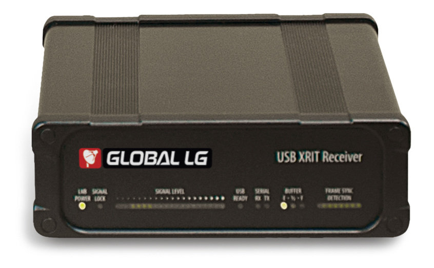
Housed in a sleek, compact, durable extruded aluminum case, the Dartcom L-Band receiver is a high-quality receiver for direct broadcast LRIT transmissions from MSG, GOES, COMS-1 and Electro services. It is also fully compatible with the new GOES-R HRIT service. The receiver interfaces through USB to host computer for fast, reliable data transfer. It features a 20-LED real-time signal level display for easy dish alignment and operational signal monitoring and an adjustable RF attenuator to accommodate LNB signal inputs between –15dBm and –75dBm.
OPTIONAL DVBS2 RECEIVER
DVBS2 receiver card fits into the host computer’s PCIE slot, providing reception of KU-band EUMETCast transmissions via commercial communication satellites, allowing it to receive METEOSAT 2nd Generation (MSG) Imagery covering Europe/Middle East/North Africa regions.
FIXED LRIT/HRIT METEOROLOGICAL SATELLITE DOWNLINK
Our fixed LRIT/HRIT downlinks allow you to receive HRIT imagery from the new GOES-R Series spacecraft, as well as LRIT imagery from the legacy GOES-13, -14 and -15. Utilizing a low-profile 100 x 60 cm toroidal antenna provides for easy installation and reliable, wind-resistant operation. We customize configurations with either single or multiple display workstations, servers and all necessary peripherals.
XRIT INGESTER SOFTWARE
The XRIT Ingester software is supplied as part of the XRIT System. It automatically ingests, decrypts, de-compresses, archives and outputs LRIT and HRIT data. Images can be automatically enhanced, masked, exported, printed, animated, reprojected and colored using the MacroPro software, then displayed, manipulated and processed further using the iDAP Software.
XRIT INGESTER SOFTWARE FEATURES:
Handling of all LRIT, HRIT, SAF and other data from EUMETCast, HimawariCast, MSG, GOES, COMS-1 and Electro services.
Fully automatic ingest and output, with no user intervention required after configuration.
Multi-threaded, layered architecture allowing simultaneous ingest from different services.
Fully compatible with 64-bit Windows.
Archiving of data at each stage of processing.
Automatic preview creation, with map overlays and geographical position read-outs.
Output of image data as Dartcom iDAP images, navigated and calibrated where possible, and with vector map overlays.
Output of image data in PCI Geomatica, ERDAS IMAGINE, ENVI/IDL and GeoTIFF formats.
Output of GOES EMWIN data via a serial port or TCP/IP socket for further processing.
Activity logging, on-screen and email alarms, plus monitoring of disk space and data stream.
Designed to comply with CGMS and EUMETSAT ground station specifications for implementation and timeliness.
GENERAL FEATURES:
Completely automatic ingest and output of all LRIT, HRIT, SAF and other data available from EUMETCast, HimawariCast, MSG direct broadcast, GOES, COMS-1 and Electro services, with no user intervention required after configuration.
Multi-threaded, layered architecture allowing simultaneous ingest from different services and scaling to multiple processors.
Comprehensive software user guide and on-line help system.
FILE ACQUISITION:
Automatic data transfer from Dartcom USB LRIT and LRIT/HRIT receivers followed by Reed-Solomon decoding, derandomisation and file assembly.
Automatic file acquisition from DVB software for EUMETCast and HimawariCast.
Archiving of acquired raw files covering up to 7 days.
Filtering by service, file type, data type and product, allowing unwanted data to be discarded collectively or selectively.
DECRYPTION AND DECOMPRESSION:
Automatic decryption of encrypted files via hardware or software decryptor (supplied separately by service provider if required) with archiving of decrypted files covering up to 7 days.
Automatic decompression of compressed files with archiving covering up to 366 days, structured in folders by data type, date and time if required.
IDAP/MACROPRO SOFTWARE:
Integrated display and processing software for satellite imagery and meteorological data with automatic macro processor.
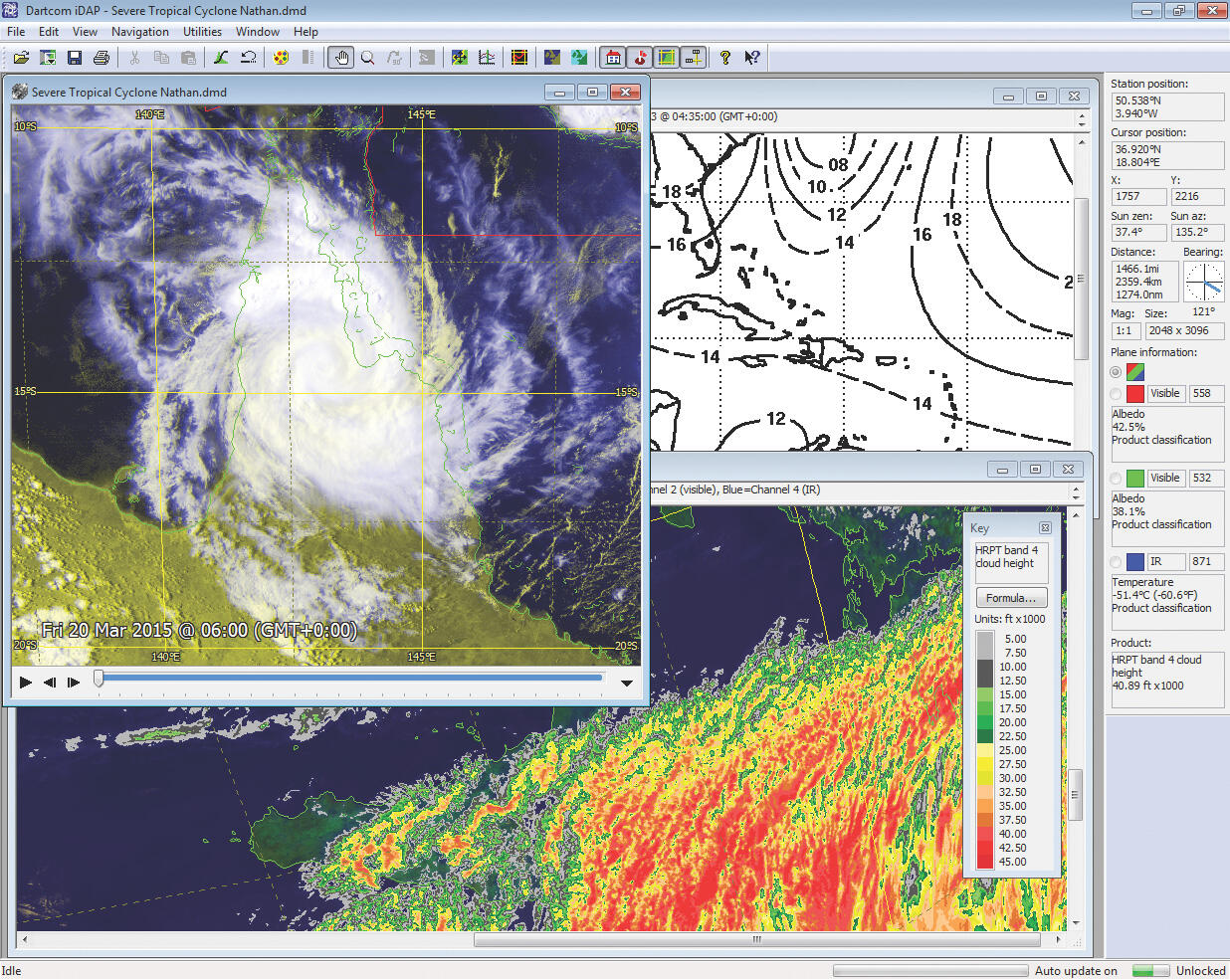
The iDAP software allows images, animations and charts received by all Dingest systems to be displayed and processed with one fully-featured program. The MacroPro software automates the powerful facilities provided by iDAP.iDAP includes a wide range of professional-quality facilities for displaying, processing, printing and exporting images without compromising ease-of-use or accessibility.Our own animation technology provides smooth, high quality, fast-updating animations with editing facilities.MacroPro allows processing macros to be set up and run on images automatically when new data is received by their associated ingest system.
FEATURES OF IDAP AND MACROPRO INCLUDE:
Handling of GOES, MSG, COMS, Elektro data.
Windows 10 and 64-bit compatible.
Creation of formula-based products such as SST, NDVI, NDSI and cloud height.
Cartographic reprojection with masking, slicing to extract clouds, and mosaic creation.
Blue Marble and DEM masking.
Comprehensive processing facilities such as enhancement, sharpening and edge extraction.
Exporting to PCI Geomatica, ERDAS IMAGINE, ENVI/IDL, GeoTIFF, EPS level 0, NOAA level 1B and other formats.
WE LOOK FORWARD TO HEARING FROM YOU!
OUR CLIENTELE